maps
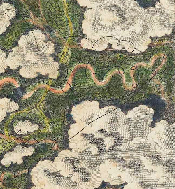
“For the Sake of the Prospect”: Experiencing the World from Above in the Late 18th Century
The first essay in a two-part series in which Lily Ford explores how balloon flight transformed our ideas of landscape. We begin with a look at the unique set of images included in Thomas Baldwin's Airopaidia (1786) — the first "real" overhead aerial views. more
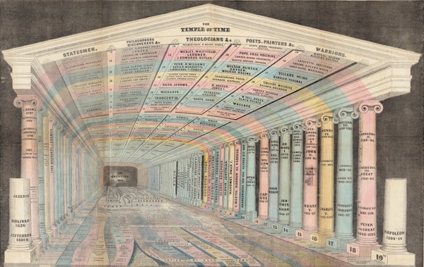
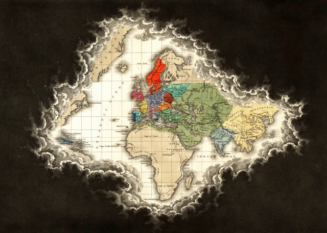
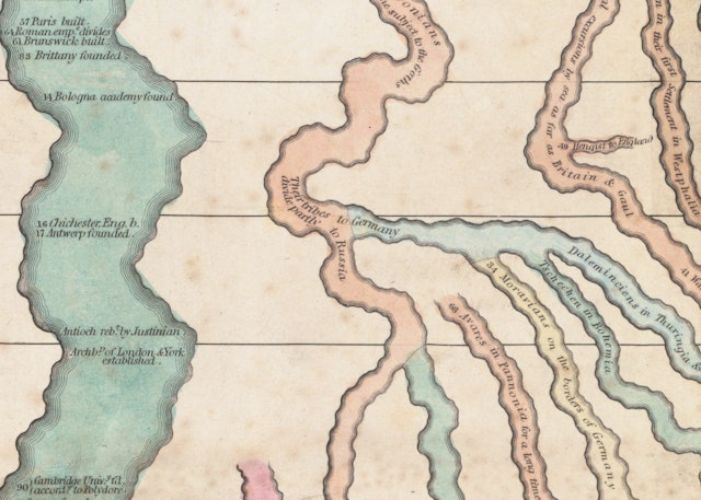
In the 21st-century, infographics are everywhere. In the classroom, in the newspaper, in government reports, these concise visual representations of complicated information have changed the way we imagine our world. Susan Schulten explores the pioneering work of Emma Willard (1787–1870), a leading feminist educator whose innovative maps of time laid the groundwork for the charts and graphics of today. more

From Fire Hazards to Family Trees: The Sanborn Fire Insurance Maps
Created for US insurance firms during a period of devastating fires across the 19th and 20th centuries, the Sanborn maps blaze with detail — shops, homes, churches, brothels, and opium dens were equally noted by the company’s cartographers. Tobiah Black explores the history and afterlife of these maps, which have been reclaimed by historians and genealogists seeking proof of the vanished past. more

